Our Geospatial & engineering Services
 multi-disciplinary geospatial and engineering consultancy
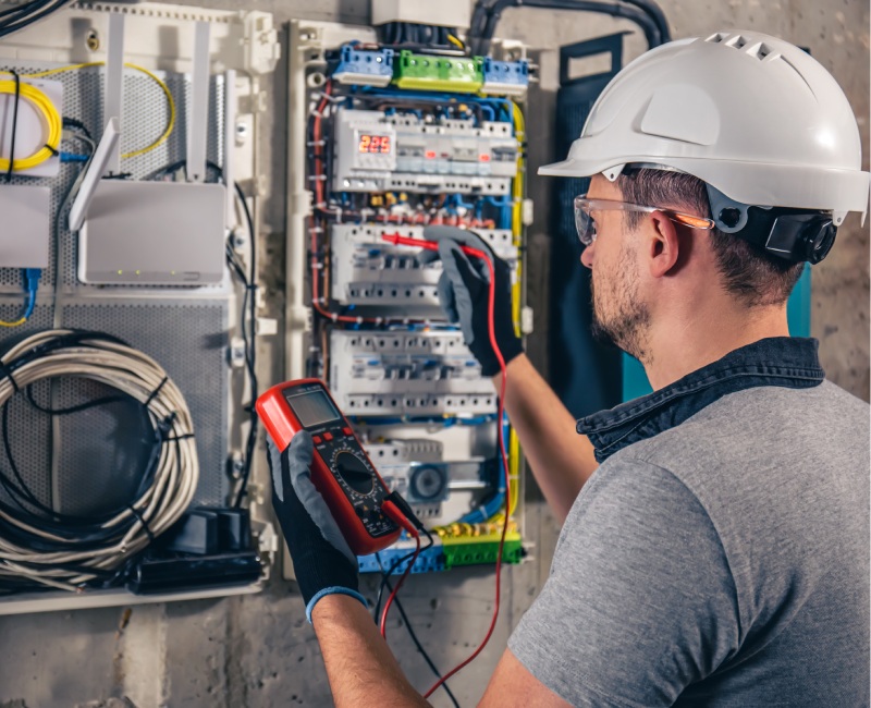
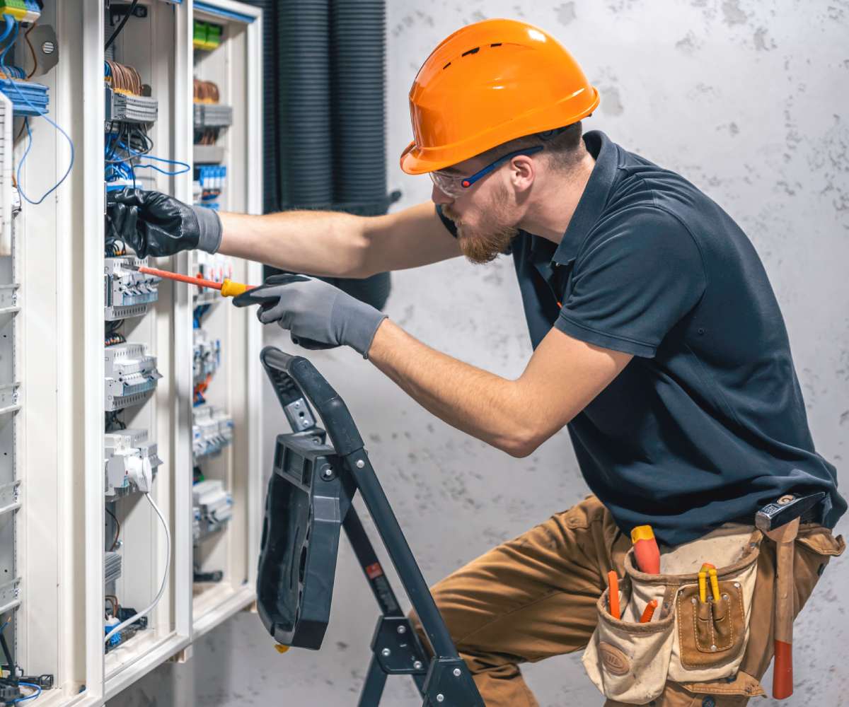
electrician-civil-engineer-screwing-equipment-into-fuse-box
hydrological modelling
  • Precision farming: Crop health monitoring via aerial imagery.

  • Yield optimization: Data-driven insights for productivity.

  • Land-use planning: Sustainable resource management.
  • view more
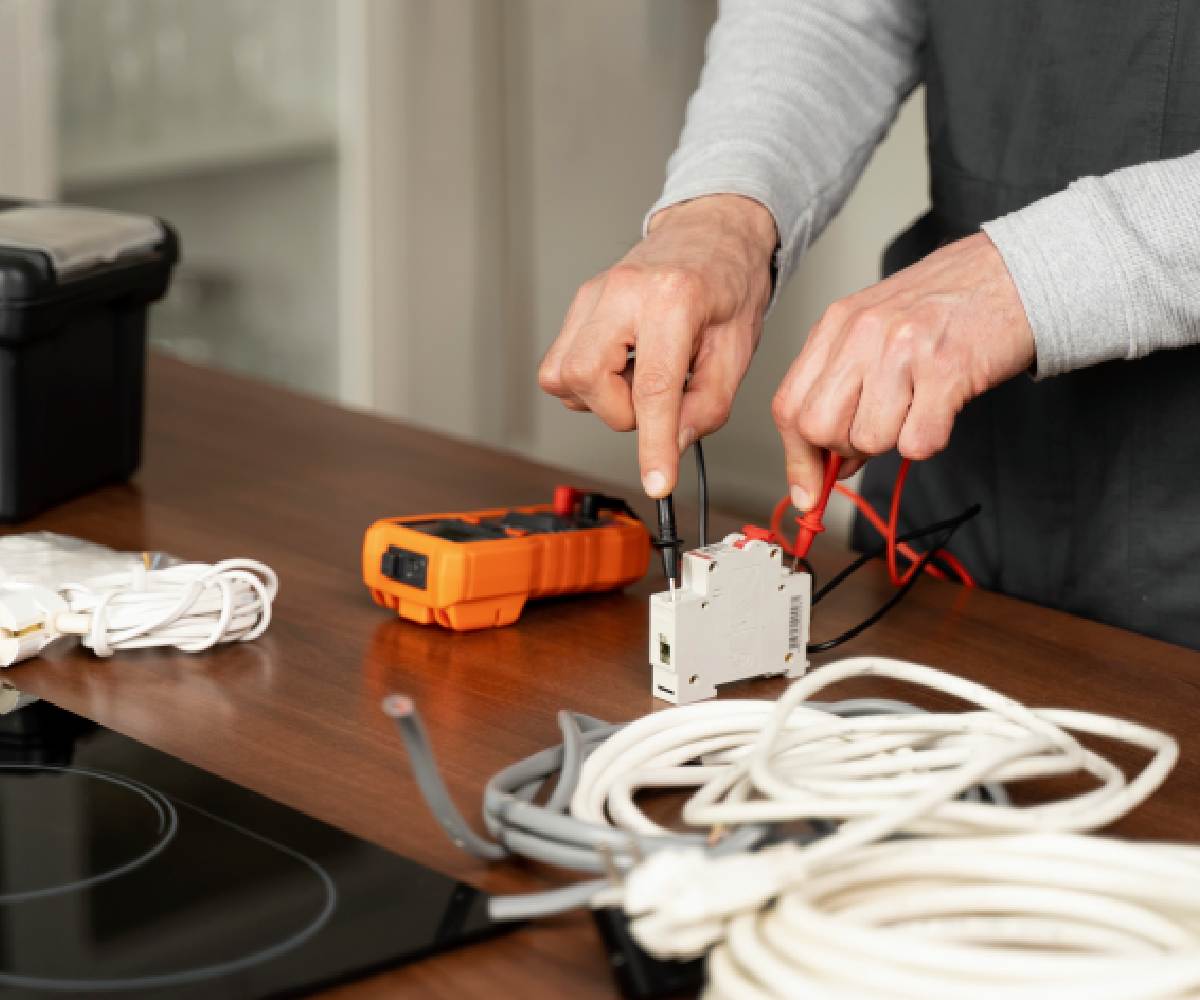
    service-maintenance-worker-repairing
    Civil engineering
  • Earthworks analysis: Monitoring excavation, grading, and site preparation.

  • Progress tracking: Drone imagery to monitor construction stages.

  • Compliance checks: Ensuring projects meet regulatory and safety standards

  • view more
    man-doing-household-tasks
    Surveys & mapping
  • Land surveying: Accurate property boundaries and infrastructure layouts.

  • Topographic surveys: Terrain data for engineering and design projects.

  • Aerial mapping: High-resolution drone imagery for large areas.

  • Geodetic surveys: Precise measurements for national or regional mapping

  • view more
    electrician-working-near-board-with-wires-installation-connection-electrics
    minning & Resources 
  • Volumetric analysis: Measuring stockpiles and material quantities.

  • Mine planning support: Mapping and monitoring production areas.

  • Environmental impact assessment: Using geospatial data to evaluate effects
  • view more
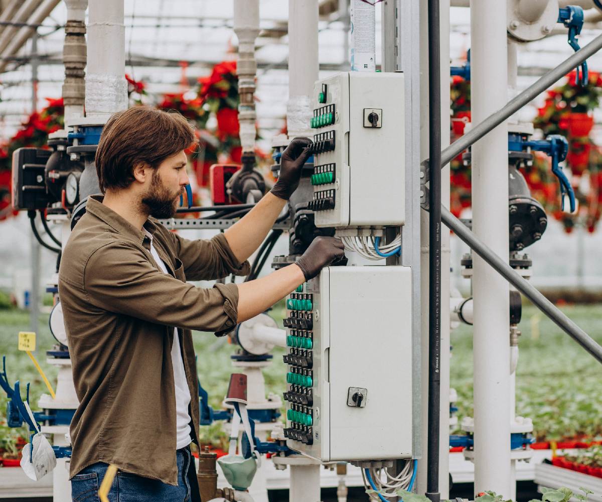
    man-florist-working-green-house
    urban & environmental monitoring
  • GIS integration: Combining drone data with geographic systems for city planning.

  • Flood risk analysis & water management: Mapping water resources and irrigation planning.

  • Environmental monitoring: Tracking deforestation, pollution, or land degradation.
  • view more
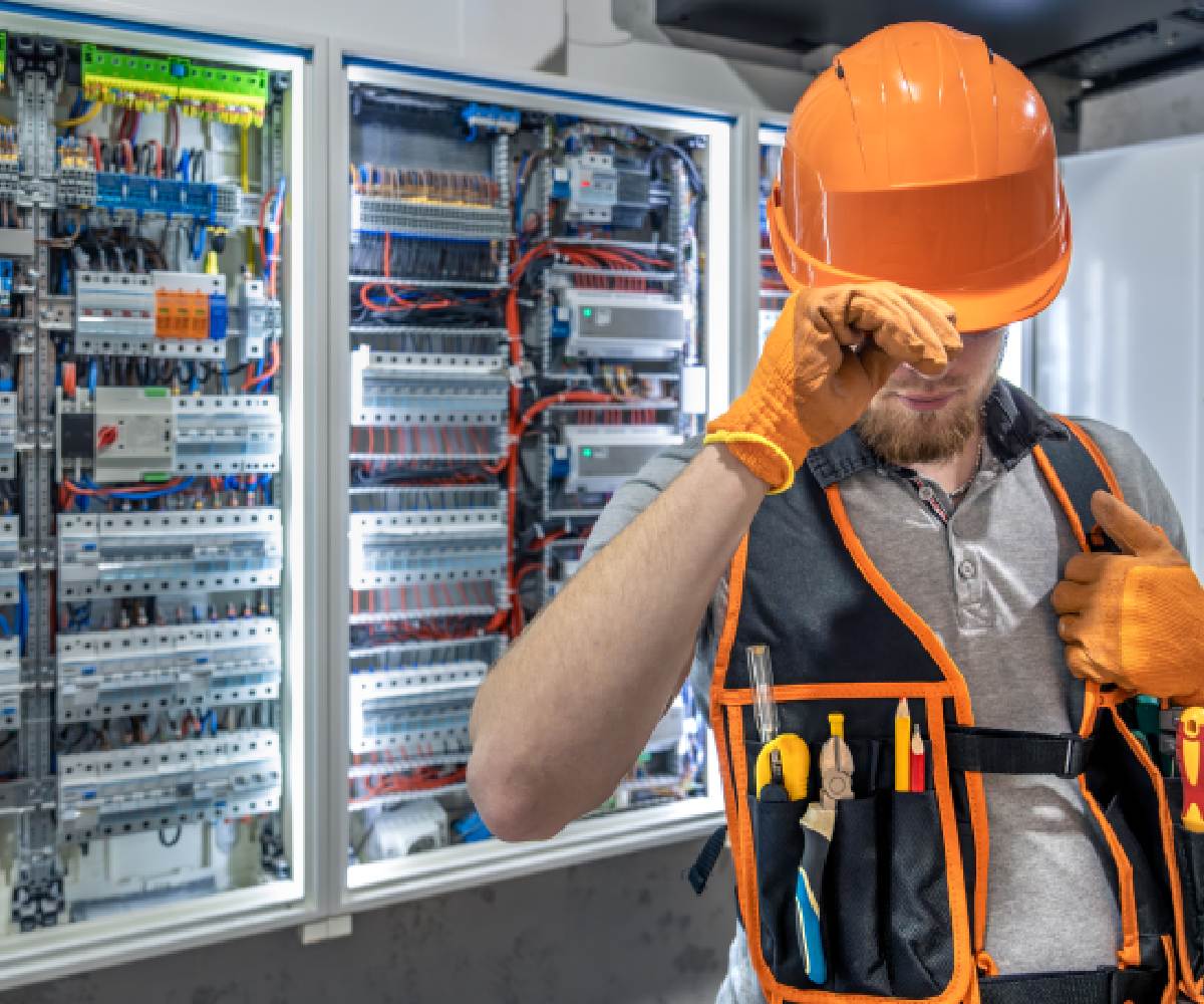
    electrician-man-overalls-works-switchboard-portrait-electrician-overalls
    LiDAR & photogrammetry
  • LiDAR & photogrammetry: Advanced 3D mapping techniques.

  • Decision-support systems: Tools that help industries make informed choices

  • view more
    electrcian_working
    How It Work
    achieve your needs with ease
    We follow a simple, step-by-step approach to deliver safe, efficient, and reliable engineering, data and service.
    contact us
    01
    Request & Consultation
    Get in touch with us to discuss your geospatial and engineering needs. Our experts assess your requirements and provide the best service plan.
    02
    Inspection & Planning
    We perform a detailed inspection and create a customized plan to ensure safety and efficiency in every step.
    03
    Professional Execution
    Our professional engineers carry out the work with precision, using quality tolls and advanced technology.
    04
    Testing & Quality Check
    We thoroughly test all systems that has been engineered to guarantee reliability, performance, and safety compliance.
    pricing plans
    get it done with the Right Plan
    Basic Package.
    Get all your surveying and aerial mapping started with the basic plan.
    $ 7000
    • Land surveying
    • Topographic surveying
    • Geodetic surveying
    • Hydrological surveying
    • With aerial mapping
    get started
    Standard Package
    Move from the basic surveys and add engineering to your needs.
    $ 24000
    • Construction & Infrastructure
    • Agricultural & Land management
    • Environmental monitoring
    • Priority emergency service
    get started
    Premium Package
    Best for central, regional and local-governments, municipal service delivery agencies and the private sectors.

    bring your budget

    • Full system & maintenance
    • Urban planning
    • LiDAR & photogrammetry
    • Dedicated service technician
    • Professional, technical & financial expert
    get started
    Frequently Asked Questions
    Common questions about our services
    man-electrical-technician-working-switchboard-with-fuses
    Geospatial resolutions, technical, financial, institutional, and management consulting services to central, regional and local government, municipal service delivery agencies and the private sector.
    Yes, all our engineers are licensed and professionally trained.
    Yes, we’re available 24/7 for any emergencies request.
    We offer same-day service in most areas.
    Yes, we provide safety and performance inspections for all service.